


Coastal Map
The map provides 4 important indicators for coastal areas. A land-water, a coastline, a tidal flat indicator, and a vicinity indicator for land close to water and water close to land.
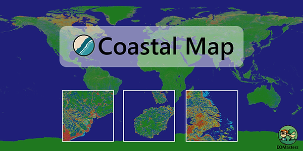
Coastal areas are crucial ecosystems, supporting a diverse range of plants and animals. Monitoring these areas via satellites allows for better exploration and protection. The Coastal Map presented in this document provides high-resolution data (approximately 10 meters) essential for analysing and processing information about coastal zones. It uses the WSG84 projection and is divided into 3x3 degree grid files, significantly reducing the workload and processing time for ecological assessments. The map provides 4 important indicators for coastal areas.
-
a land-water indicator
-
a coastline indicator
-
a tidal flat indicator
-
a vicinity indicator for land close to water and water close to land.

The provided data and how it has been generated is
described in the technical paper at Zenodo.


The global coastal flag map is provided in the ZNAP format and can be accessed for free at AWS S3 bucket as described in the technical note. But it can be provided in other data formats, like GeoTiff or NetCdf. The global vicinity map used to derive the vicinity indicators can be provided too. Contact me for details.